← Home · Seismic

Soil Liquefaction Analysis in Chilliwack — Fraser Valley Seismic Risk Assessment

Together, we solve the challenges of tomorrow.

LEARN MORE →

Too many foundation designs in Chilliwack still treat the ground as if it were solid rock. The reality is different. Much of the city sits on loose, saturated sands and silts deposited by the Fraser River — soils that can lose all their strength in seconds during a strong earthquake. The 2015 National Building Code of Canada places Chilliwack in a moderate-to-high seismic zone, and the site-specific amplification of soft soils makes the hazard real. We see the same pattern in our investigations: contractors skip the liquefaction analysis, build on shallow footings, and assume the gravel cap will save them. It will not. A proper soil liquefaction analysis measures the layer-by-layer resistance of the subsurface and predicts how the ground will behave when shaking starts. Without it, you are designing on borrowed time.

A soil that looks stable under static load can turn into a liquid the moment the Cascadia subduction zone releases its next major event.

Our approach and scope

The backbone of a Chilliwack liquefaction study is the standard penetration test, run with a CME automatic hammer on a truck-mounted rig that can reach depths of 20 to 25 meters through the local silty sand. Each SPT blow count is corrected for overburden pressure and hammer energy, then plotted against the fines content from companion grain-size analysis to calculate the cyclic resistance ratio. When the client needs a continuous profile without disturbing the sample, we add cone penetration testing with a piezocone to map pore pressure dissipation directly. The resulting factor of safety is computed at half-meter intervals, and the post-liquefaction settlement is estimated using the method of Ishihara and Yoshimine. The lab runs Atterberg limits and fines content on every split-spoon sample, because Chilliwack soils often carry enough silt to partially suppress liquefaction — but not enough to ignore the risk.
Soil Liquefaction Analysis in Chilliwack — Fraser Valley Seismic Risk Assessment
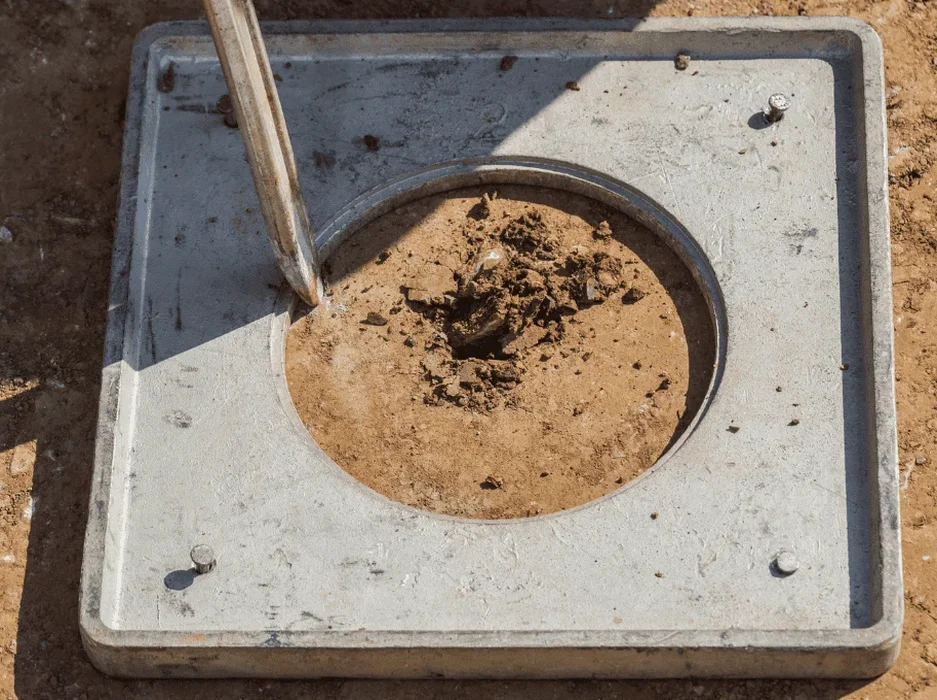
Technical reference image — Chilliwack

Site-specific factors

The Fraser River floodplain geology makes Chilliwack one of the most liquefaction-prone cities in British Columbia. The subsurface is dominated by 15 to 30 meters of Holocene alluvial sands and silts, often loose to medium-dense, with the water table sitting barely a meter below the ground surface. These are exactly the conditions that produced catastrophic lateral spreading in Christchurch and Niigata. When a Cascadia megathrust earthquake — estimated at Mw 9.0 — strikes the Pacific coast, the long-duration shaking will have plenty of time to build excess pore pressure in the saturated Chilliwack sands. The risk is not theoretical. Cone penetration tests we have performed near the Vedder Canal show a soil behavior type index firmly in the contractive zone. Lateral spreading along drainage channels and settlement beneath shallow foundations are the two failure modes that keep structural engineers up at night in this valley.

Need a geotechnical assessment?

Reply within 24h.

Email: contact@geotechnicalengineering.xyz

Technical data

ParameterTypical value
Analysis methodSPT-based (NCEER/Youd-Idriss), CPT-based (Robertson)
GWT typical depth (Chilliwack)0.5–3.0 m below grade
Fines content thresholdFC < 35% — high liquefaction susceptibility
Seismic design PGA (NBCC 2015)0.30–0.45 g (Site Class D/E)
Post-liquefaction settlement range25–150 mm depending on CSR and layer thickness
Drill depth for assessment20–25 m (captures Holocene Fraser deposits)
Grain-size companion testASTM D6913 / D7928 by sieving and hydrometer
Reporting outputFS map per layer, LPI estimate, settlement profile

Complementary services

01

SPT-based liquefaction screening

Full-depth borehole with SPT at 1.5 m intervals, corrected N1(60) values, cyclic stress ratio calculation, and factor of safety per layer. Compliant with NBCC site classification requirements.

02

CPTu profiling for continuous data

Piezocone penetration testing with pore pressure measurement, ideal for mapping thin liquefiable lenses that SPT might miss. Robertson (2009) soil behavior type classification included.

03

Post-liquefaction settlement and LPI

Estimation of ground settlement using Ishihara-Yoshimine or Zhang et al. methods, plus calculation of the Liquefaction Potential Index for the entire borehole profile to guide foundation depth decisions.

Reference standards

NBCC 2015 / 2020 — Seismic Hazard and Site Classification, ASTM D1586-18 — Standard Penetration Test, NCEER Workshop (Youd & Idriss, 2001) — SPT-Based Liquefaction Triggering

Frequently asked questions

What is the typical cost of a soil liquefaction analysis in Chilliwack?

For a single borehole with SPT-based liquefaction screening, lab grain-size and fines content, and a complete engineering report with FS profiles and settlement estimates, the cost usually falls between CA$3,020 and CA$5,290. Deeper investigation depths, additional CPTu soundings, or rush turnaround can push the upper end of that range.

Which areas of Chilliwack have the highest liquefaction risk?

The highest risk is concentrated in the low-lying floodplain zones — anywhere underlain by Fraser River sand deposits with a groundwater table shallower than 3 meters. This includes large portions of the urban core, the agricultural lands along the Vedder Canal, and industrial parks built on former river channels. Site-specific investigation is the only way to confirm the hazard at a given address.

How deep does the liquefaction assessment need to go?

In Chilliwack, we typically investigate to a depth of 20 to 25 meters. The Holocene-aged Fraser River deposits that are susceptible to liquefaction rarely extend beyond 30 meters, but stopping shallower risks missing a loose sand layer that could settle and cause differential foundation movement during a Cascadia event.
Location and service area

We serve projects across Chilliwack and surrounding areas.

View larger map