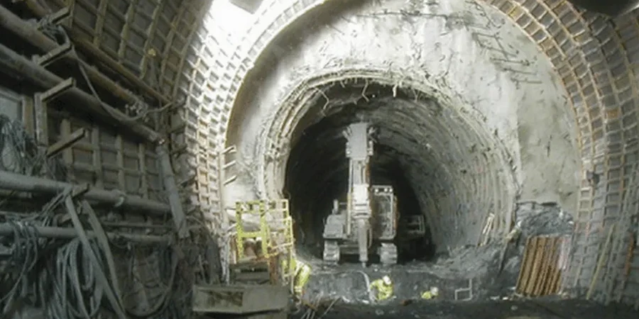
Chilliwack sits on some of the deepest and most complex alluvial deposits in British Columbia, with overburden depths exceeding 300 meters in the central Fraser Valley. Tunneling through this material isn't a standard excavation, it's a controlled exercise in ground management. The city's location between the Fraser River and the Cascade foothills means we encounter interbedded silts, soft clays, and loose sands that can squeeze, settle, and react unpredictably under stress. A proper geotechnical analysis for soft soil tunnels becomes the backbone of any successful underground project here. Our team combines decades of regional drilling data with laboratory testing programs to characterize the exact soil behavior you'll face. Whether the project involves a utility crossing beneath the Vedder River or a new sewer trunk in the Sardis area, understanding the local stratigraphy from the start prevents costly surprises. The water table in Chilliwack often sits just a couple of meters below ground surface, which means dewatering and face stability calculations need to be integrated into the analysis from day one, not treated as an afterthought.
Tunneling in Chilliwack's deep alluvium isn't about strength, it's about managing deformation before it reaches the surface.
Site-specific factors
The NBCC 2020 and CSA A23.3 provide the structural framework, but for soft ground tunnels the real risk management lives in the geotechnical model. In Chilliwack, the primary hazard is face instability in the loose, water-bearing sands of the Fort Langley formation. A sudden loss of face control can propagate to the surface rapidly, especially in urbanized sections of the city where infrastructure is dense. The silts and clays also present a long-term consolidation settlement risk that can damage surface structures kilometers away from the tunnel alignment. Our analysis quantifies the settlement trough using empirical methods and numerical models, so the design team can pre-assess the impact on every building within the zone of influence. Another factor unique to this region is the seismic response of the soft soils, which can amplify ground motions and trigger cyclic softening during a moderate earthquake. We evaluate these mechanisms directly so that the tunnel lining design accounts for the expected ovaling and racking deformations.
Frequently asked questions
What makes Chilliwack's soils particularly challenging for tunneling?
The main challenge is the thickness and variability of the alluvial deposits. We have over 300 meters of interbedded clays, silts, and sands deposited by the Fraser River. This creates highly variable face conditions, a high water table, and significant long-term settlement potential that requires a very detailed stratigraphic model.
How do you determine the right face pressure for a TBM in these conditions?
We calculate the required face pressure based on the effective stress and pore pressure at the tunnel axis, adding a margin for the undrained shear strength of the clay. The calculation is calibrated using laboratory data from undisturbed samples and then verified against CPTu pore pressure dissipation tests to ensure the pressure window avoids both face collapse and blowout.
What is the typical cost range for a soft soil tunnel analysis in Chilliwack?
The cost for a geotechnical analysis for a soft soil tunnel in Chilliwack typically ranges from CA$4,870 for a preliminary feasibility assessment to around CA$24,710 for a full detailed design package with numerical modeling and instrumentation planning. The scope depends on the tunnel length, depth, and the complexity of the ground conditions.
How do you account for seismic risks in the tunnel lining design?
We perform site-specific seismic site response analysis using local shear wave velocity profiles. The soft soils in Chilliwack can amplify ground motions, so we calculate the free-field deformations and apply them to the lining using the racking ratio method to ensure the structure can accommodate the expected strains without damage.
What method do you use to predict surface settlement?
We use a combination of empirical methods, like the Gaussian trough approach, and finite element models. The empirical methods give us a quick estimate of the settlement volume, while the numerical models allow us to simulate the sequential excavation and lining installation to see how the ground reacts at each step.