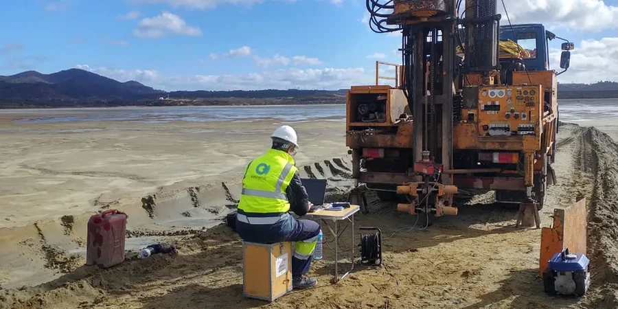
Chilliwack sits on over 200 meters of unconsolidated Fraser River deposits, a stack of soft silts, loose sands, and glacial till that can amplify shaking dramatically during a Cascadia subduction event. The geological contrast between the alluvial plain and the surrounding bedrock foothills creates abrupt changes in ground motion over very short distances. In our experience, a single uniform-hazard spectrum pulled from the national code rarely captures what actually happens at the bottom of a 30-meter silty profile near the Vedder River. That is why site-specific seismic microzonation matters here. It maps how the soil column modifies bedrock motion, block by block, so structural engineers can assign the correct site class—not guess it from 500-meter regional grids. A well-executed campaign ties together MASW profiling, deep SPT-N data, and measured Vs30 values to produce ground motion maps that make sense for the real stratigraphy under Chilliwack, not an idealized Vancouver-wide model.
A site class shift from C to E in downtown Chilliwack can double the spectral acceleration demands on a building—measured velocities leave no room for assumption.
Our approach and scope
NBCC 2020 requires site classification based on Vs30 or equivalent penetration resistance for all post-disaster and high-importance structures, but in Chilliwack the default Site Class C or D assumptions often misrepresent the deeper impedance contrasts. What we typically see is a stiff crust of 5 to 10 meters overlying much softer lacustrine silts that push the fundamental period well above one second—a condition that amplifies long-period energy dangerous for mid-rise concrete frames. Our approach combines surface-wave testing with downhole velocity logging to build shear-wave velocity profiles down to at least 30 meters, and often deeper when the bedrock interface sits below the standard depth. The resulting microzonation maps delineate zones of similar dynamic response: firm ground near Promontory, softer basin-center deposits south of the Trans-Canada, and transitional edges where lateral spreading potential must be flagged separately. Each zone gets its own design spectrum anchored to measured velocities, not just geologic inference.
Frequently asked questions
How much does a seismic microzonation study cost for a development in Chilliwack?
The cost depends on the size of the area, the grid spacing required, and the depth of investigation. For a typical residential subdivision or small commercial parcel in Chilliwack, studies usually range from CA$4,960 for a targeted Vs30 campaign to about CA$25,150 for a full microzonation with multiple MASW lines, downhole testing, and integrated liquefaction mapping. We provide a fixed-price proposal after reviewing the site plan and any existing geotechnical data.
Does NBCC 2020 require microzonation for all buildings in Chilliwack?
Strictly, NBCC 2020 requires site classification for all structures, but microzonation—mapping the spatial variation of site response—is typically triggered by municipal planning requirements for larger developments or by the engineer's judgment when soil conditions vary significantly across a site. In Chilliwack, where the sediment-basin geometry creates sharp site-class transitions, many geotechnical engineers specify a microzonation study to avoid over- or under-designing foundations on different parts of the same property.
What is the difference between a standard site classification and a microzonation study?
A standard site classification determines the site class at a single point, typically using one borehole or one MASW line. A microzonation study maps how site class, amplification factors, and liquefaction susceptibility vary across the entire footprint of a project. For a five-acre site in Chilliwack that straddles the edge of the deep basin, a single-point classification could miss a Site Class E pocket at the back of the lot—microzonation catches that spatial variability and provides contour maps the structural team can use directly.